This summer, drone flights were carried out by SITES Spectral over the Följemaden area in Skogaryd. The Följemaden area is part of a re-wetting experiment to investigate measures to reduce greenhouse gas emissions caused by soil drainage. The experiment was reported in a previous SITES news item. Starting this year, the area is part of a SITES Spectral monitoring area, and will be monitored by fixed spectral sensors, a phenological camera, and annual drone flights.
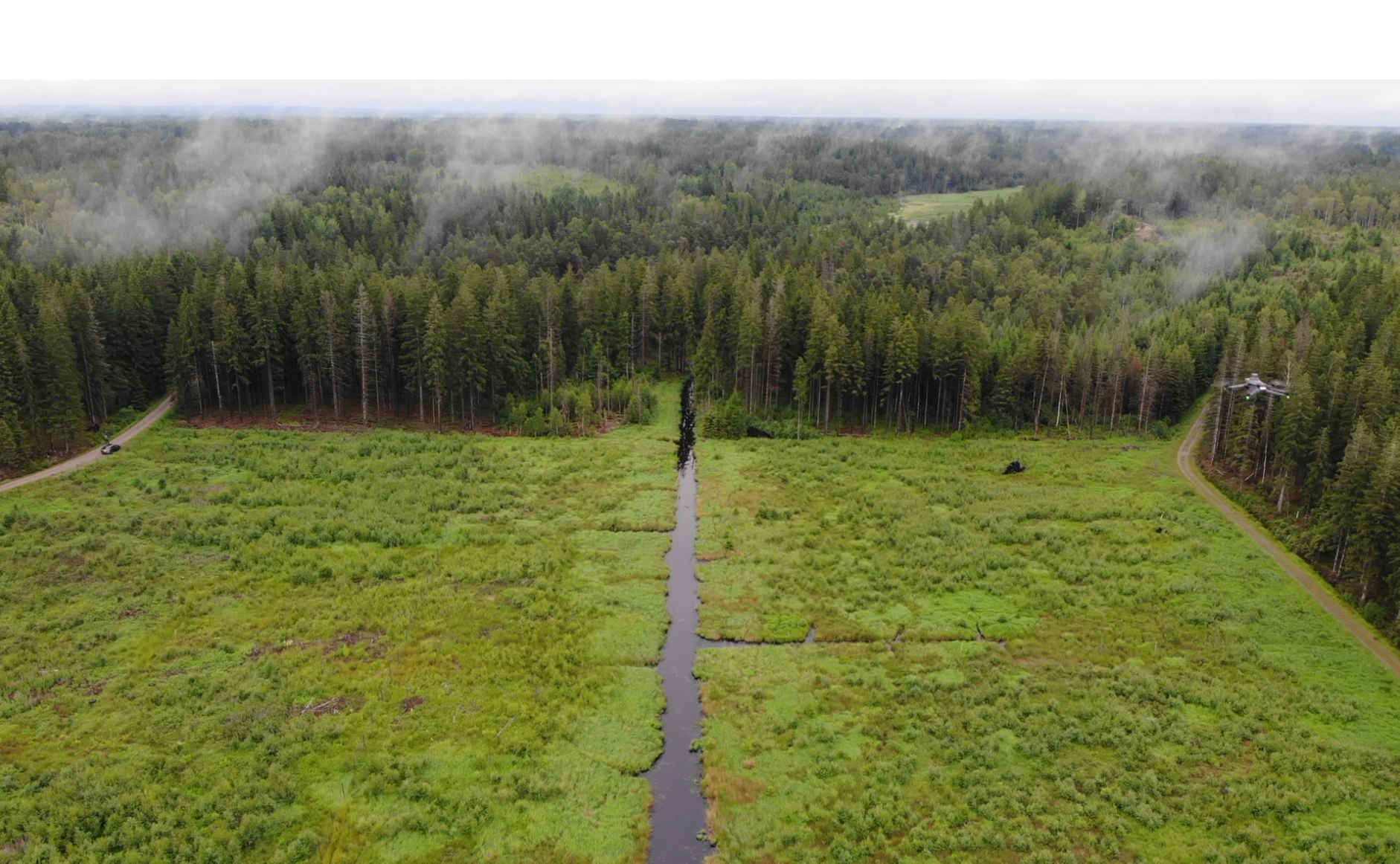
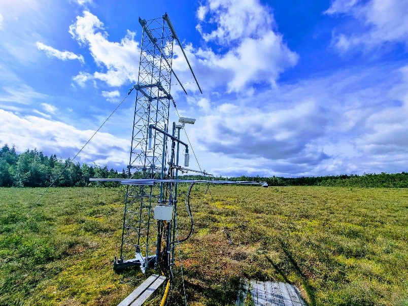
This summer, José Beltran (Lund University) carried out aerial mapping over the Följemaden area, covering 63 ha with the drone flying at 50 m altitude. Successful drone flights were also conducted at the Myckelmossen mire site and at the central forest in Skogaryd. SITES Skogaryd staff, Per Weslien and David Allbrand, are responsible for all the installations and maintenance of the instruments at the diverse Skogaryd catchment area in SITES, providing invaluable data to answer a range of questions related to ecosystem dynamics in a changing climate. The new SITES Spectral data from the Följemaden area, including processed data from the 2023 flights and the fixed sensors, will be made openly available through the SITES Data Portal.