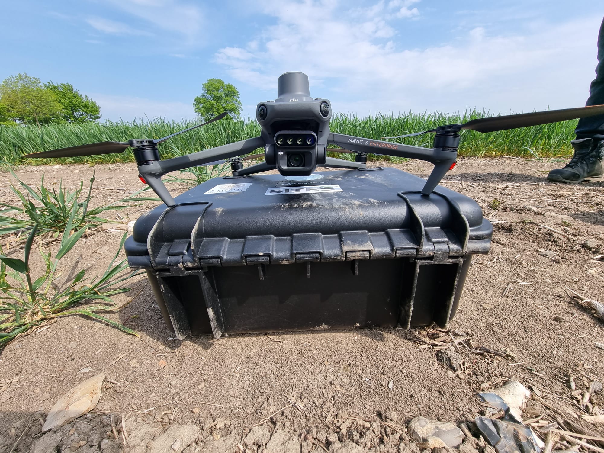
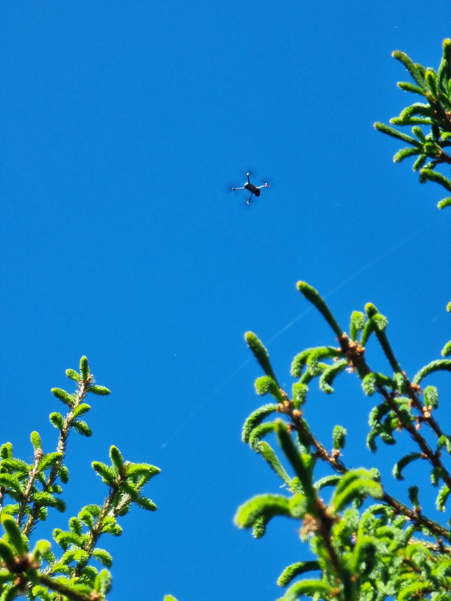
New advanced drones are making their way into the SITES Spectral Thematic Program, enhancing the ability to collect crucial information for the environment. Furthermore, their small size makes them incredibly practical to use in the field. SITES Lönnstorp station is among the first to get their hands on this cutting-edge technology.

SITE Spectral stations are upgrading to new equipment to significantly enhance data collection capabilities. The new advanced drones' differential GPS (Real TIme Kinematics - RTK) allows them to operate without traditional ground control points, providing real time corrections to the location of the drone, significantly reducing time for field data sampling in many areas. This means more precise and timely information for various environmental initiatives will soon be available.

So, what makes these drones special? They have multispectral cameras, which means they can capture light in various ways beyond what our eyes can see. This is invaluable for a range of uses, from farming to forestry to environmental science. For farmers, these drones offer a detailed look at crop health, soil quality, and water conditions. This means they can water and fertilize their fields more efficiently, boosting crop yields while being eco-friendly. Foresters also stand to gain; they can use the drones to keep tabs on forest health, track how trees are growing, and even spot illegal logging activities. Environmental scientists can use the drones to help monitor natural habitats, assess the quality of water bodies, and study plant and animal life in an area. The arrival of these advanced drones at SITES Spectral research stations marks a significant step toward a future where science and technology contribute directly to global sustainability.