A coordinated catchment monitoring program in lakes and streams
SITES Water offers
- Open access to hydrological, physical, chemical and biological time series data in lakes and in streams
- Contextual background information and maps on the stream-lake catchments
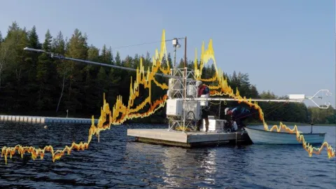
- Physical access to the SITES Water infrastructure, e.g., boat and lake platform access, aquatic sampling equipment, handheld sensors, laboratory
- Technical support from SITES staff and established protocols to help support sampling design and implementation
Description of the infrastructure
There are several types of data collected within SITES Water divided into six layers:
- Layer 1: Background Information: background maps and GIS layers providing relevant contextual information on the (sub-)catchment(s), e.g., elevation, soils, land use, lake bathymetry, and vegetation
- Layer 2: Water balance: stream water level and discharge and lake level
- Layer 3: Physical variables: meteorological measurements on the lake and surrounding catchment, stream temperature, lake temperature profiles (thermal structure), and in some cases oxygen profiles
- Layer 4: Chemical variables: bi-weekly (ice-free) to monthly (ice cover) manual samples of lakes and streams for chemical analysis, e.g., carbon, nutrients, pH, cations, anions
- Layer 5: Biological variables: archived DNA samples from lakes and streams and phytoplankton and zooplankton archives at Erken
- Layer 6: Greenhouse gas fluxes: flux chamber program at all stations with a lake during the ice-free period
All layers are divided into a base and advanced level, where base level applies to all stations, and advanced level applies to specific research stations. Advanced level often is a result of building off previous station base programs and knowledge at the station.
The following stations participate in Water:
- Abisko
- Asa
- Bolmen
- Erken
- Röbäcksdalen
- Skogaryd
- Svartberget
- Tarfala (from 2013-2022)
Contact

SITES Water Lead
Blaize Denfeld
Swedish University of Agricultural Sciences
blaize.denfeld@slu.se
Water Resources
Data
SITES Water data available on the Data Portal
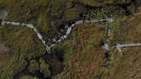
Catchments
Information about catchments linked to SITES Water monitoring
Introduction video about SITES Water
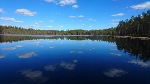
Lakes
Information about the lakes linked to SITES Water monitoring