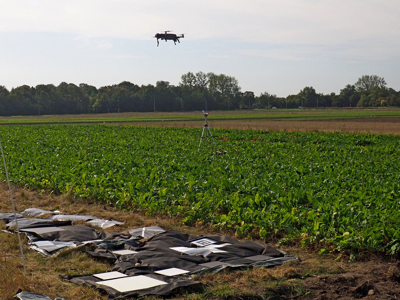
RGB cameras are useful for mapping the ground in natural colors in 3-D. Multispectral cameras record images in several wavelengths, including near-infrared, and are useful for monitoring vegetation conditions. Depending on camera type and flying conditions, data need to be calibrated to provide accurate data for quantifying vegetation amount.
Per-Ola Olsson, researcher at Lund University, and collaborators have carried out an analysis of errors related to calibration, and developed a methodology for calibration that minimizes variations related to incoming light fluctuations. The analysis shows that calibration is an important step to be carried out before quantitative analyses of multispectral data from drones.
The results and useful guidelines for how to carry out the calibration were recently published in the open access journal Remote Sensing.
Reference
Olsson, P.-O., A. Vivekar, K. Adler, V. E. Garcia Millan, A. Koc, M. Alamrani & L. Eklundh (2021) Radiometric Correction of Multispectral UAS Images: Evaluating the Accuracy of the Parrot Sequoia Camera and Sunshine Sensor. Remote Sensing, 13, 577.