The ongoing work on estimating the discharge in the streams at Röbäcksdalens field station was initiated in the spring of 2023. At the time, the final phase of the snowmelt runoff was generating a peak stream flow. At Röbäcksdalen, a tracer is used to measure the discharge. The tracer is common table salt and it is injected (the mass balance method) into the stream, generating a dispersed cloud of conductivity change in the stream. The change in conductivity is then used to estimate the discharge. More data points are needed to establish the stage-discharge relationship in the streams of Röbäcksdalen and the plan is to continue this work when the spring flood season starts.
At Röbäcksdalen, discharge measurements and chemical samples are collected from five different sites along two different streams that join together. The stream of Röbäcken has two sites located in forest and urban areas, whereas the stream of Degernäsbäcken has three sites located in the agricultural land of the field station.
Currently, stream level data for these locations is on the SITES Data Portal (here). The aim for 2024 is to collect enough discharge data points from two of the sites to be able to establish the stage-discharge relationships and thus provide discharge data on the SITES Data Portal. The collection of chemical samples, on the other hand, has been carried out at Röbäcksdalen year round since 2016 and is available on the SITES Data Portal (here).
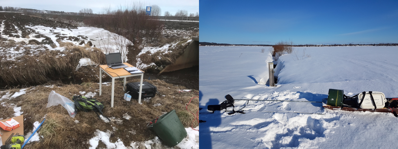
Discharge measurements (left) and stream water chemistry sampling at Röbäcksdalen (Photos:Håkan Nilsson)